 Loading... Please wait...
Fish-N-Map PACIFIC COAST CHARTS - POINT
Product Description
Fish-N-Map, Pacific Coast Charts Part Number 4121
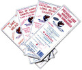
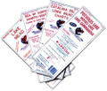
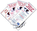
FISH-N-MAP UNDERWATER TOPOGRAPHY MAPS
Made of waterproof, tear resistant plastic. Features include: underwater depth contours, fish locations, latitude and longitude for GPS, multiple freshwater lakes on one map, boat ramps, recreational facilities and much more.
- Territory : PACIFIC COAST CHARTS/SAN CLEMENTE ISLAND
Warranty Information
Manufacturer's warranty

